
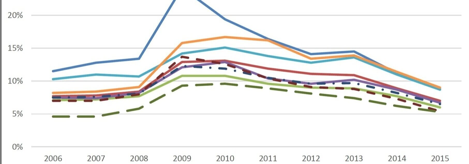
Regional Data
Reading left to right, top to bottom, our region might just be what you first see on a map of Michigan. WUPPDR has a lot to offer in data to tell our story.
The six counties of the Western U.P. have a total population of approximately 80,000 - similar to the metropolitan area of Casper, Wyoming or Great Falls, Montana, with many similar recreation opportunities and views but far fewer people in our backyards!
Each county has a strong identity. Although a county line may not mean much to an observer, trust us that this definition is one of the best ways to present the diversity of our people, land, and economy.
Descriptions and data about each county are available on pages linked below.
Baraga County
The region’s largest bay of Lake Superior joins a tribal nation, two villages, and southern woods
Gogebic County
The region’s western gateway has the largest national forest land base of any Michigan county

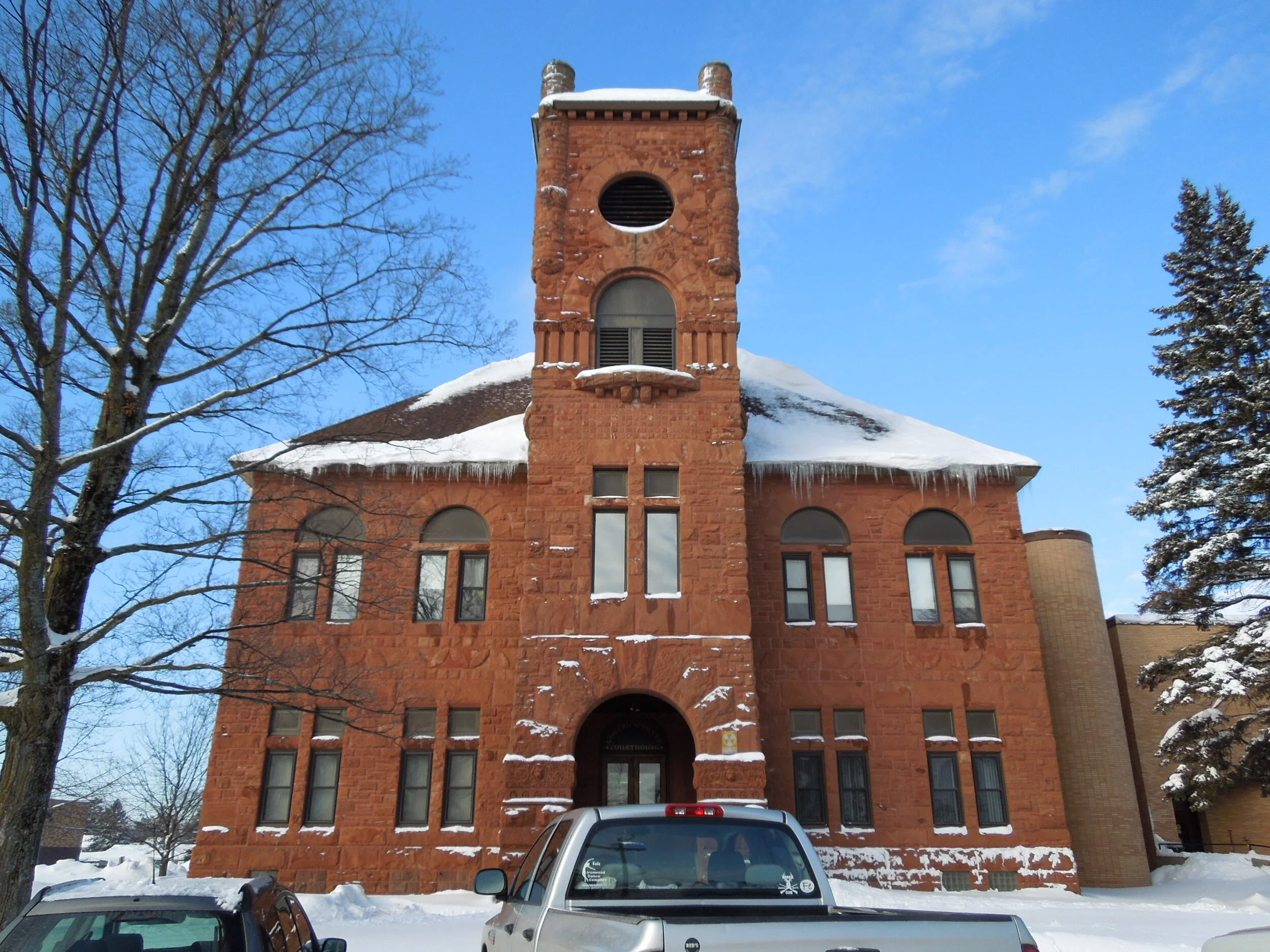
Houghton County
Heritage meets high-tech in the region’s population and economic core

Iron County
The region’s “inland” county has uninterrupted woods in the north and historic towns in the south
Keweenaw County
Quaint communities, nature preserves, and adventure tourism dominate our smallest county
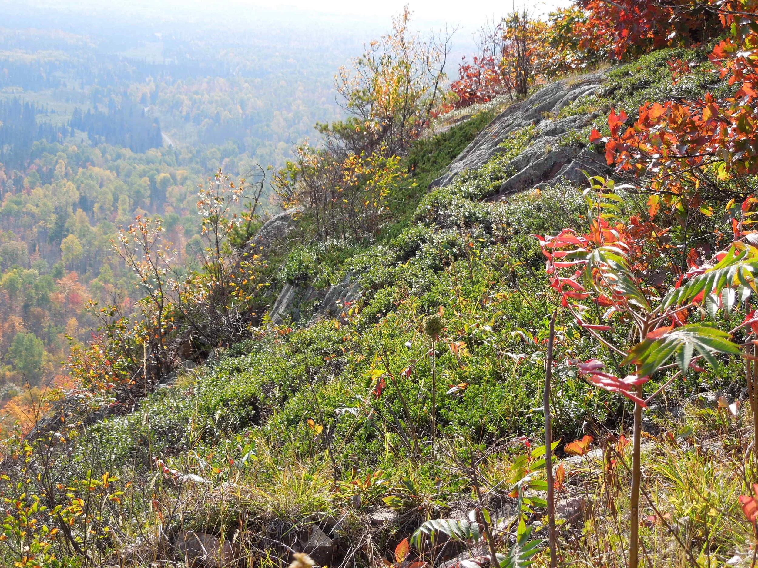
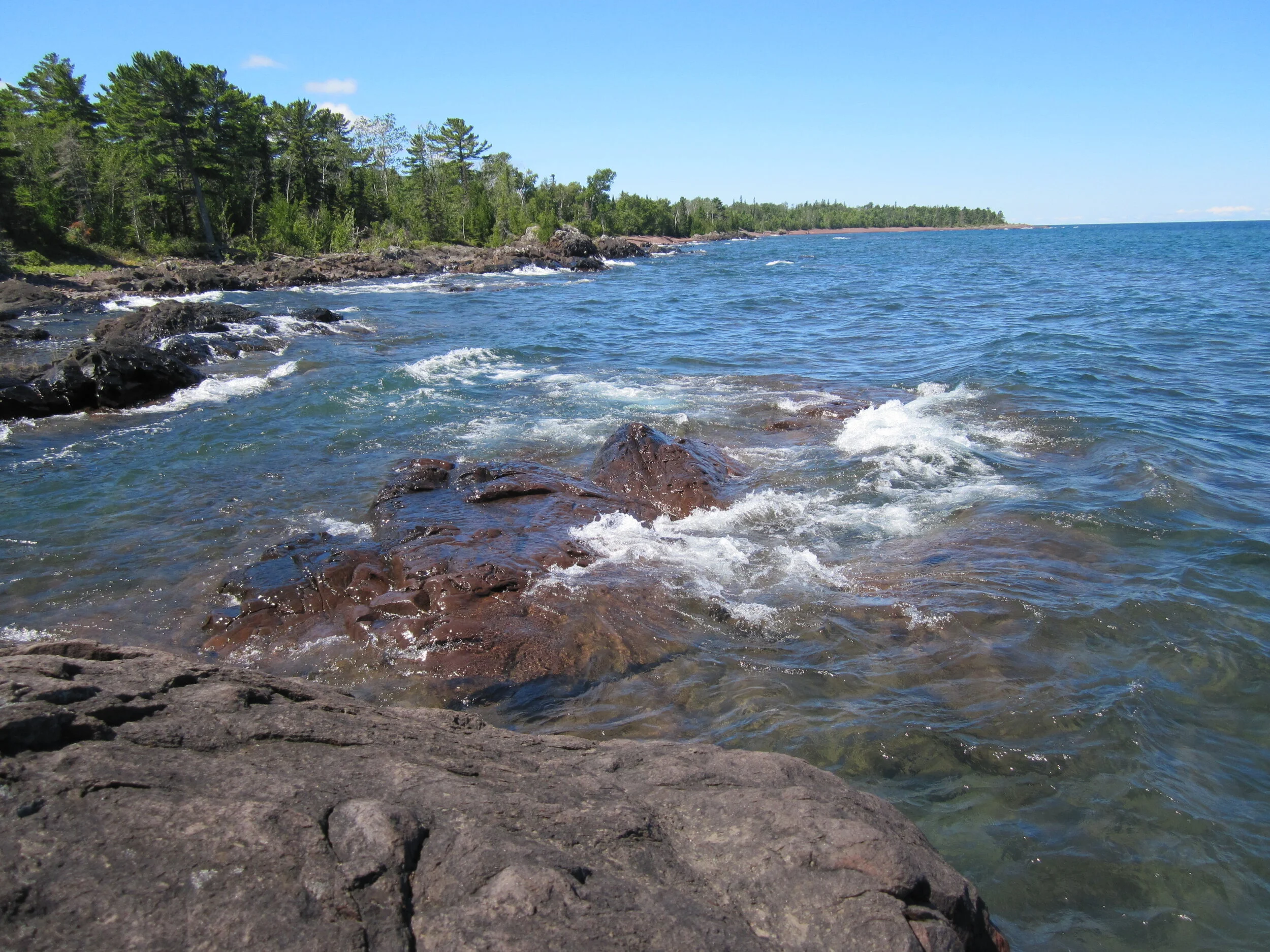
Ontonagon County
Home of Michigan’s largest state park, wilderness area, and “mountain” range
Custom Data
WUPPDR is skilled at accessing and refining publicly available data from sources such as the U.S. Census, Department of Labor, and related state agencies. We can direct data-seekers to the most appropriate sources to meet their needs.
Under some circumstances, we may be able to package specific data to provide free of charge, and when more extensive or original data or analysis is needed, we can do so in a fee-for-service arrangement.
For information on these services, contact Jerry Wuorenmaa, Executive Director, at jwuorenmaa@wuppdr.org or (906) 482-7205 ext. 111.