
GIS & Mapping Services
WUPPDR provides geographic research and cartographic services and internally maintains a Geographical Information Systems (GIS) database for the region. Data available upon request include topographical maps, aerial photography, parcel information for some jurisdictions, and much more. Individual and customized mapping is available upon request.
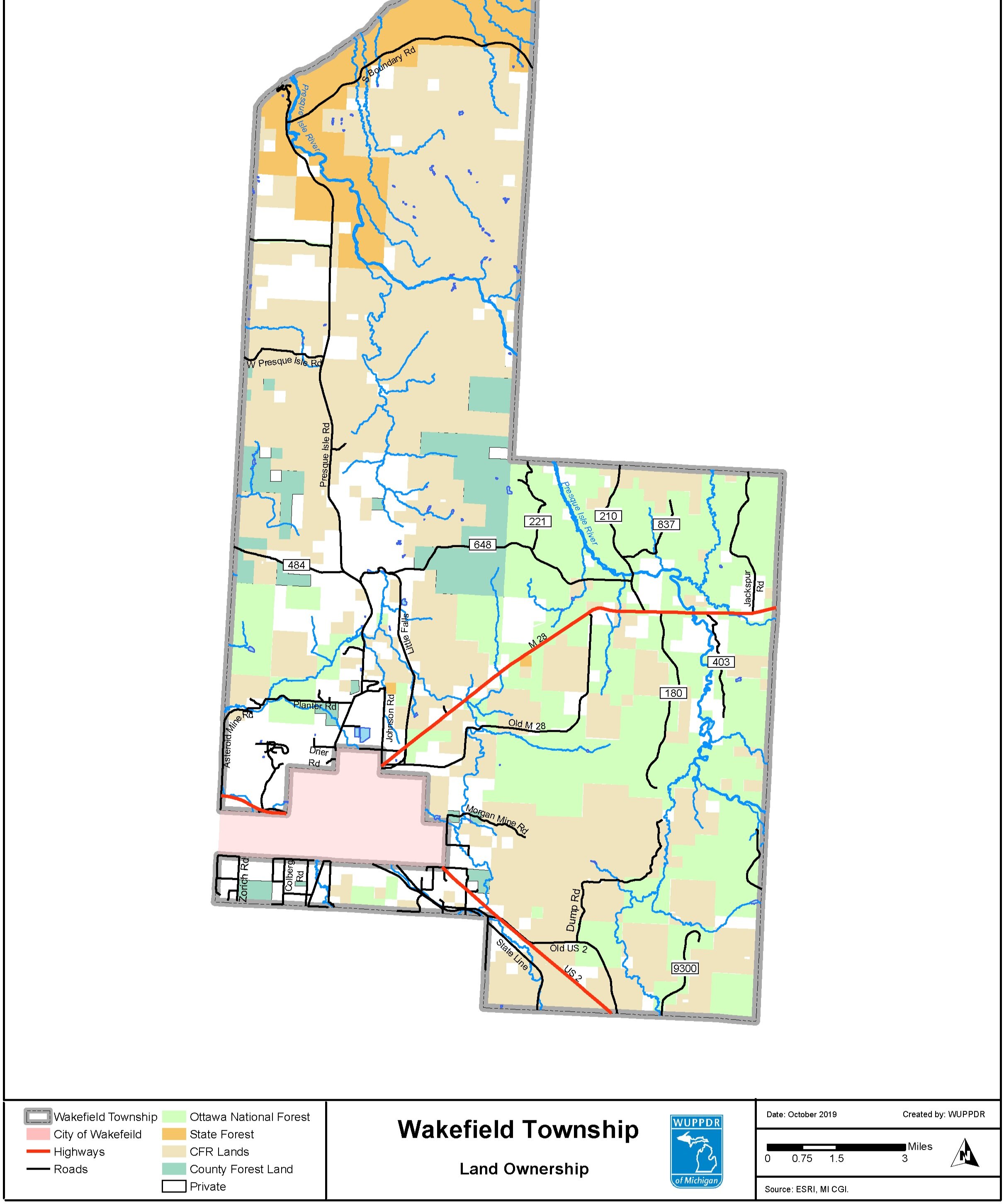
Land Classifications and Infrastructure
Parcels/plats/tax mapping (see bottom section of page)
Utilities
Infrastructure
Public works
Zoning
Natural Resource Management & Planning
Recreation
Agriculture
Water resources
Habitats
Land management & administration
Forestry
Conservation
Environmental management
Public Safety
Emergency management
Law enforcement
Transportation
Facility Management
Real Estate
Economic Development
Regional Data Collection
Map Digitizing
Parcel Data
Due to data ownership issues, WUPPDR does not have access to parcel data for some counties in the region. County-specific parcel information is available as indicated below. WUPPDR does not maintain these viewers or the data contained within.
Gogebic CountyParcel Viewer
Iron CountyParcel Viewer (Partial Coverage)
Houghton CountyParcel Viewer
Baraga CountyParcel Viewer
Keweenaw CountyParcel Viewer
Ontonagon CountyParcel Viewer (Partial Coverage)
For information regarding WUPPDR’s GIS Department, please contact Steve Rouser at srouser@wuppdr.org or (906) 482-7205 ext. 115.